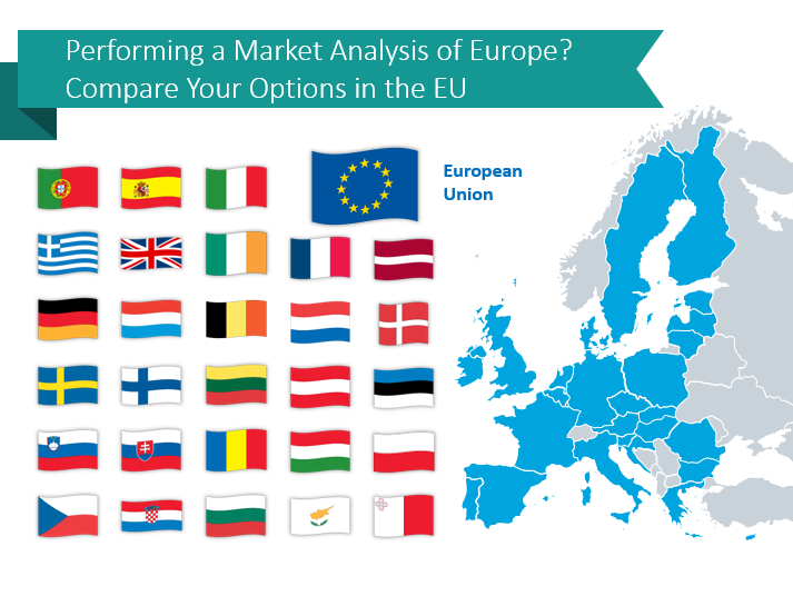
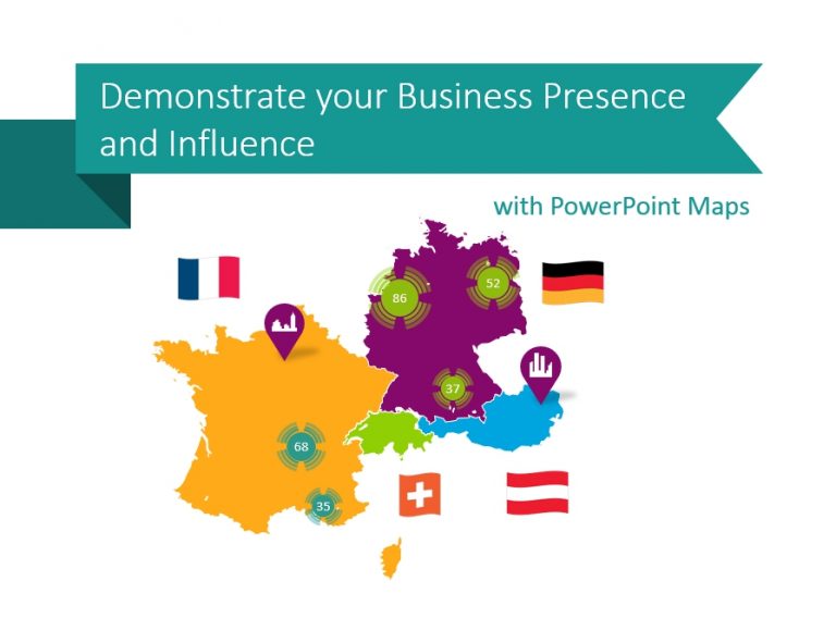
Performing a Market Analysis of Europe? Compare Your Options in the EU
If your organization is debating or considering international expansion in the European continent,…
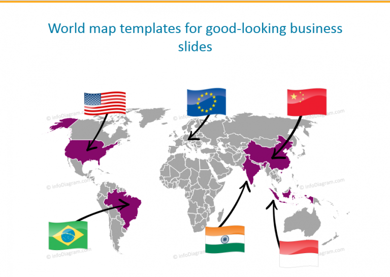
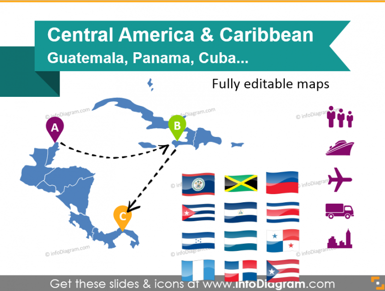
Whether your presentation is about global economies, worldwide logistics, new product delivery points around the world – vector maps are the visual tools you’ll need.
Get inspired by our ideas for maps slides. All countries and regions are vector shapes, so you can edit their color, size, ungroup them to zoom out to a specific geographic area.
If your organization is debating or considering international expansion in the European continent,…
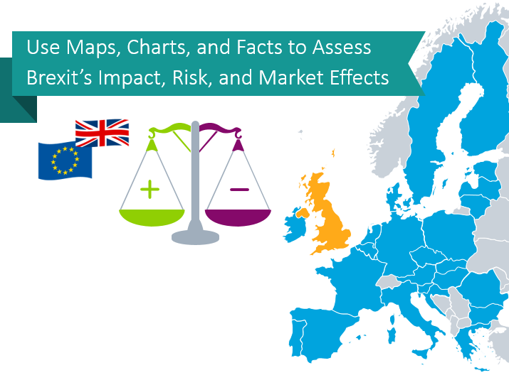
If you’re in the UK-EU or do business with entities which operate there,…
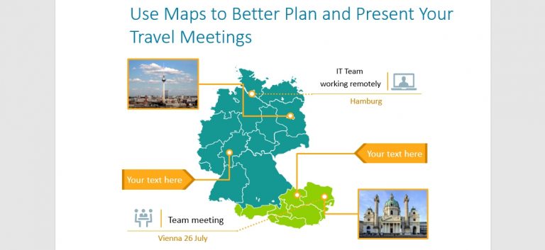
International travel can easily be illustrated with PowerPoint maps and other graphics. You…
Express your company’s global reach with country map graphics Global businesses need to…
Having logistics or a supply chain presentation? In this blog, we propose examples…
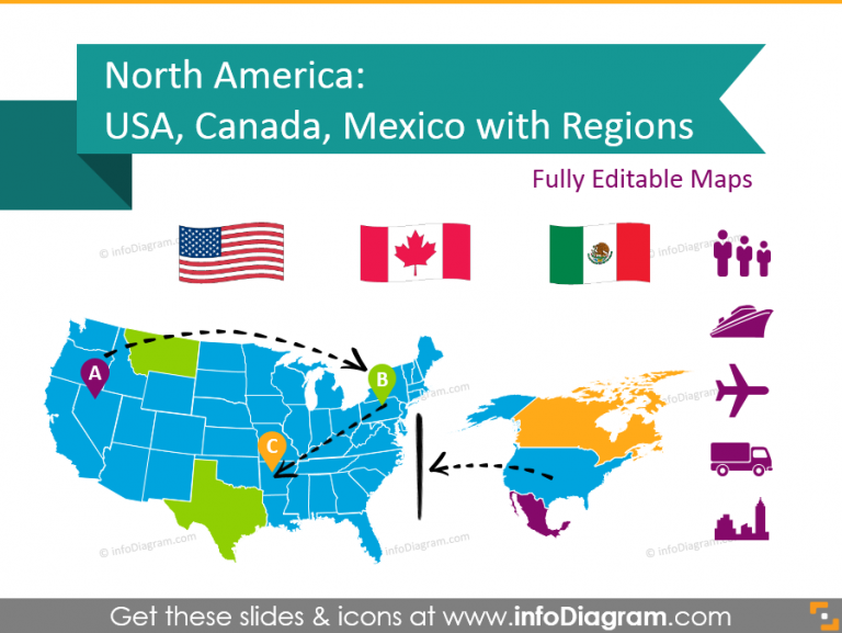
If you need to add a North America map to a PowerPoint presentation then the…
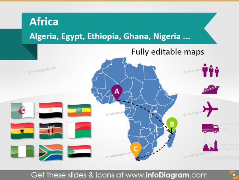
If you need to add an African map to a PowerPoint slide then the following map…